3D workspace and maps
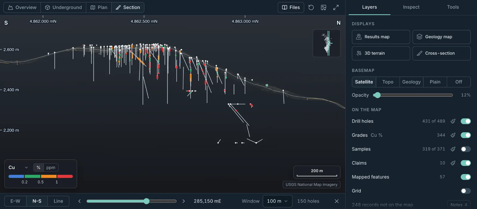
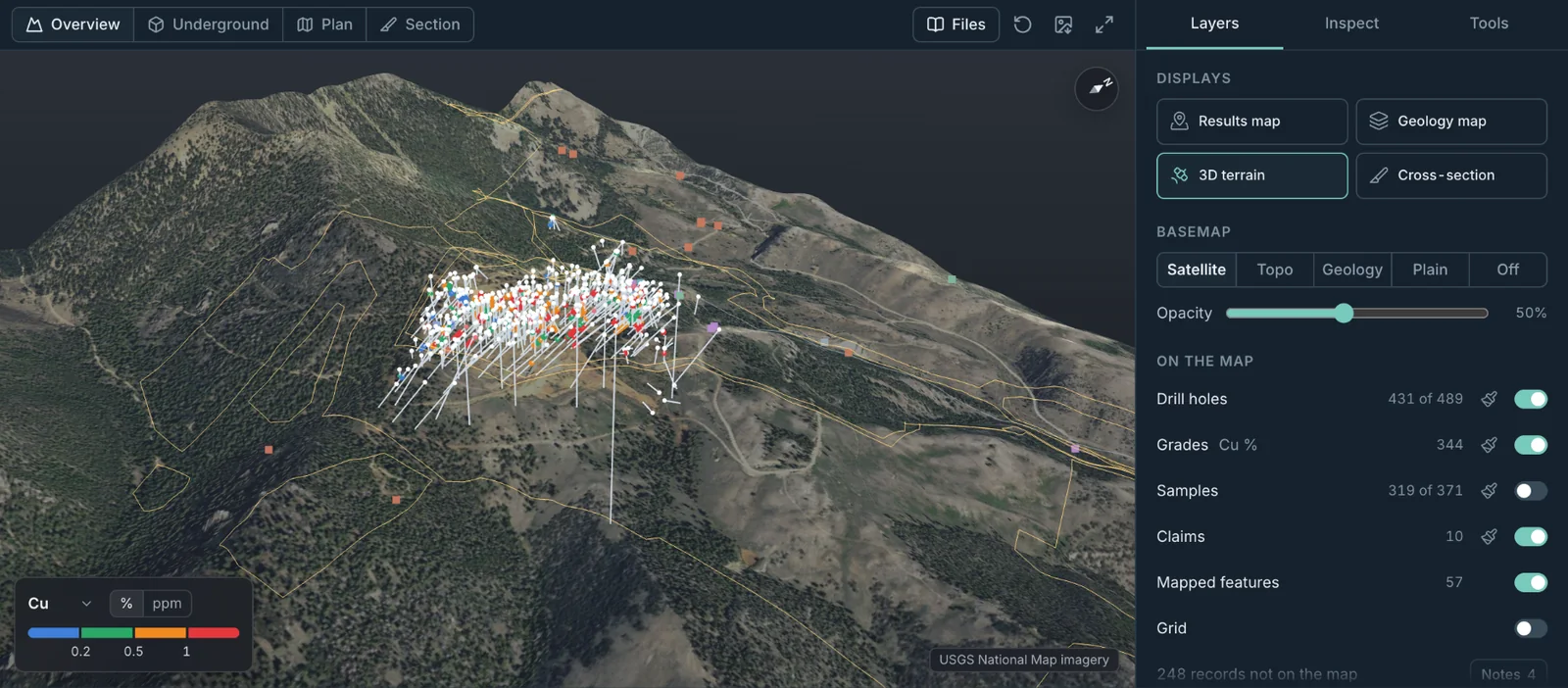
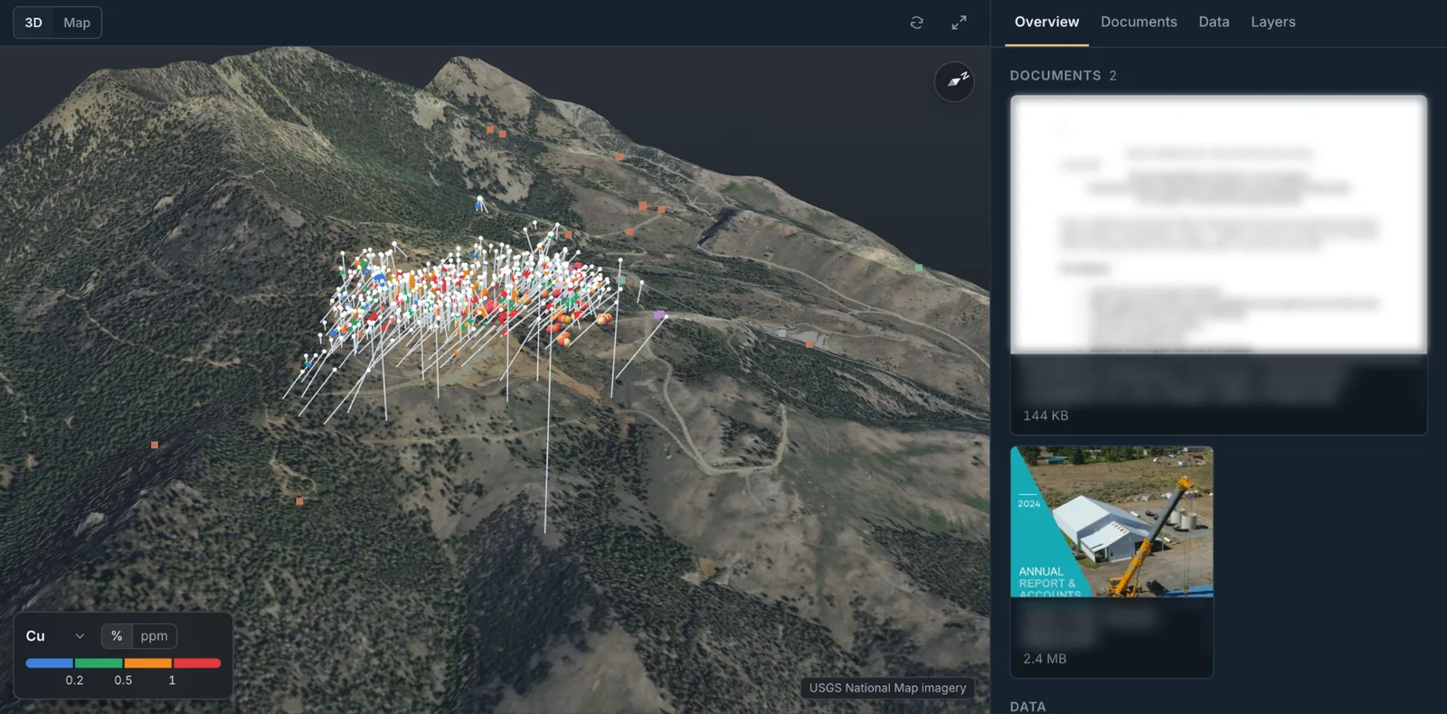
See drill holes on real terrain, coloured by grade, with claims and mapped features. Switch between overview, underground, plan and section views, or open the same project as a flat map on satellite, topo or geology.
Upload a project's reports, drill tables and maps. Stream Engine reads them and builds one organised 3D workspace, with each record linked to its source.
A junior explorer or small miner usually mixes and matches separate tools, each with its own licence and learning curve: a drill hole database, a 3D viewer, a GIS, a file store and a data room.
Stream Engine keeps the project's data, maps, files and data rooms in one place.
See drill holes on real terrain, coloured by grade, with claims and mapped features. Switch between overview, underground, plan and section views, or open the same project as a flat map on satellite, topo or geology.
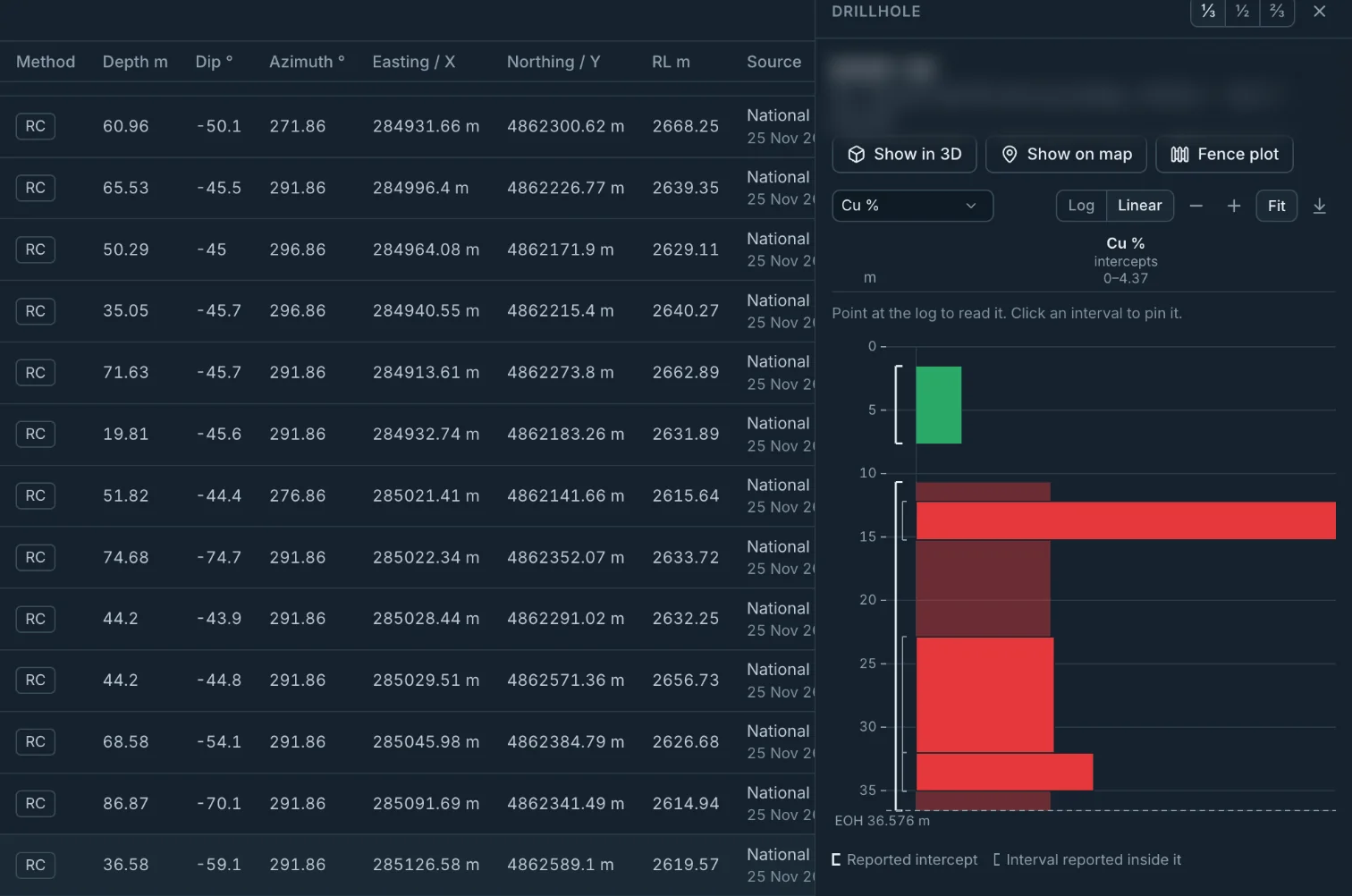
Every drill hole is listed with its method, depth, dip, azimuth and coordinates. Each row names the report and page it came from. Click a row for its strip log. Campaigns show who drilled, when and how much. Tables export to CSV.
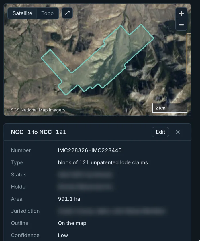
Every claim and title is in one list and on a map. Open one for its number, type, holder, area and the source it came from.
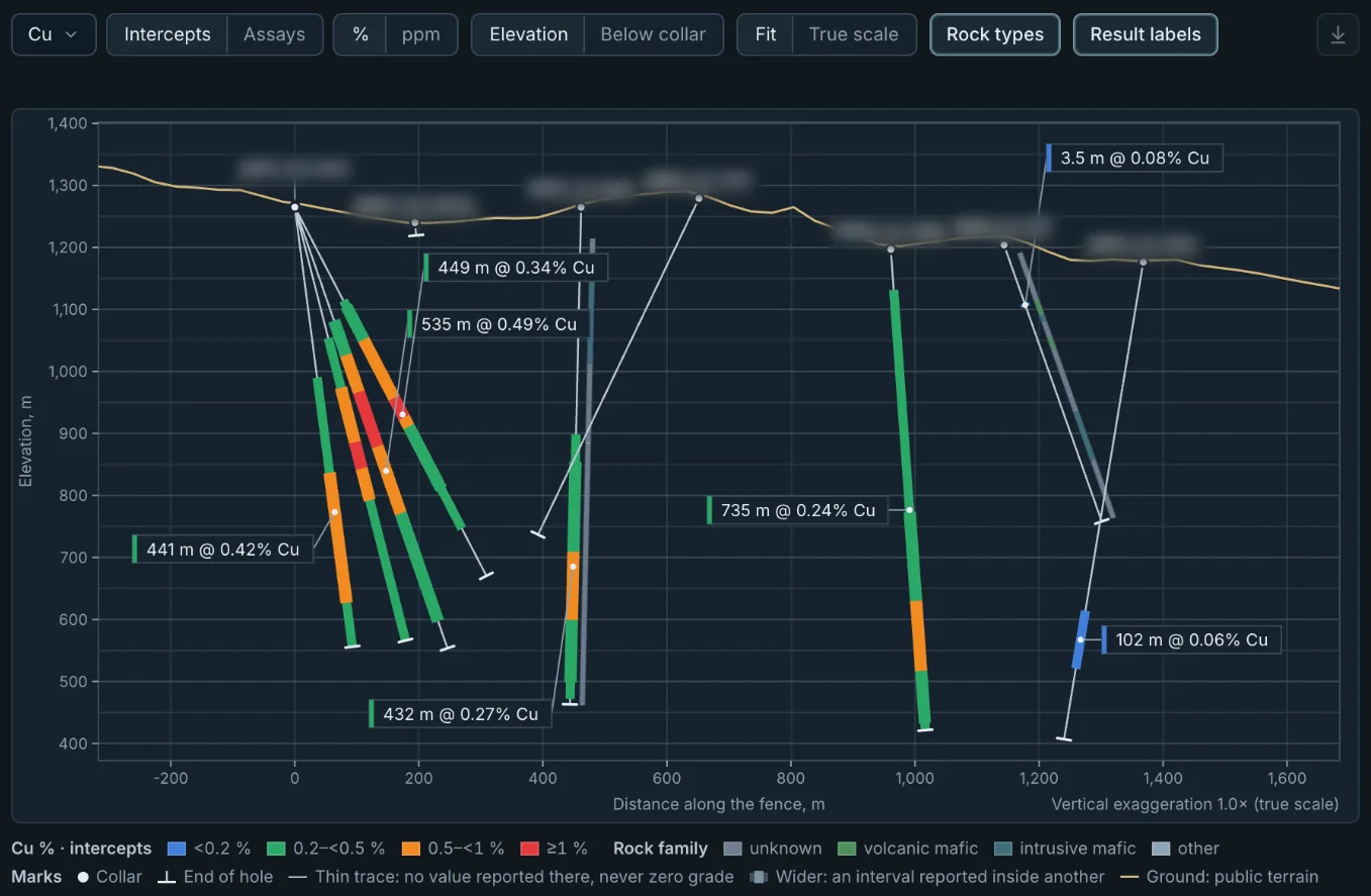
Pick drill holes and get a section through them, with grades and rock types drawn down each trace. Nothing is drawn between drill holes. Grade distribution and geochemistry plots come straight from the project's data, and figures can be downloaded.
Build a data room from the project itself. Pick the campaigns, results, samples and documents, then preview the room in 3D or on a map as a reviewer would see it.
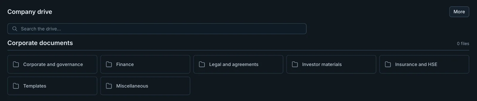
The company drive holds corporate documents and every project's files, with search across all of them. An overview page shows your projects, recent files and open tasks.
Drop in reports, assays, drill logs, maps and photos, or a whole folder. Stream Engine reads each file.
You see what was found in your files and the decisions that were made, with each record linked to its source, and approve the result.
Work with the project in 3D, on maps, in tables and in charts. Build a data room from it and preview it as a reviewer would see it.